We’re Hiring!
SEAL is looking to add a talented postdoctoral researcher to our team. The ideal candidate will have substantial technical remote sensing, massive data computation, and ecosystem modeling experience. More details.
Current Team Members
 Dr. Josh Gray, PI (CV): Josh is a remote sensing and Earth scientist motivated to understand how land use and vegetation dynamics interact with the climate system to produce changes in water and carbon cycles, particularly in managed lands like croplands and timber plantations. He develops remote sensing algorithms that blend imagery from multiple Earth-orbiting satellites to improve time series datasets for studies of phenological change.
 Nick Kruskamp: Nick Kruskamp is a Geospatial Analytics PhD student. He received his B.S. with a certificate in GIS and M.S. in Geography from the University of Georgia with a focus on geospatial analysis and remote sensing in forested environments. Nick worked for five years in geospatial research, technology development, and policy for the Army Corps of Engineers. Nick’s work focuses on understanding how geospatial technologies help us understand disturbance impacts and the long term changes to the carbon cycle in forested environments. Through the use of remote sensing and GIS technologies, including lidar, high resolution imagery, and ecological modeling, his research aims to answer questions on how we can better map species across the landscape, how spatial pattern of susceptible host species influences forest disease spread, and the implications of disturbance on carbon cycling.

Xiaojie Gao (Jacory): Jacory is a Geospatial Analytics PhD student. He received a B.S. degree in GIS from Chengdu University of Technology, China, and completed his M.E. degree on natural resources and environmental remote sensing as a joint graduate student from Chengdu University of Technology and Institute of Remote Sensing and Digital Earth, Chinese Academy of Sciences. Besides, he had 3 years of full-time work experience in GIS industry. His research focuses on environmental changes, biological and phenological impacts of global warming and remote sensing image processing technology. His research goal is using remote sensing, GIS, machine learning and other advanced technologies to help us understand human-nature interaction and global climate change.

Ian McGregor: Ian is a Geospatial Analytics PhD student. He received his undergraduate degree from University of California, Berkeley, before getting his MSc at University of Oxford. On the side, Ian has collaborated with nonprofit conservancies and coordinated forestry studies with the Smithsonian Conservation Biology Institute. His research interests revolve around macro-terrestrial landscape trends such as fire, forests, and fall colors, with current work focused on using remote sensing to tackle problems in this sphere. Outside of research, Ian is involved with music groups and strives to find any excuse to be outside.
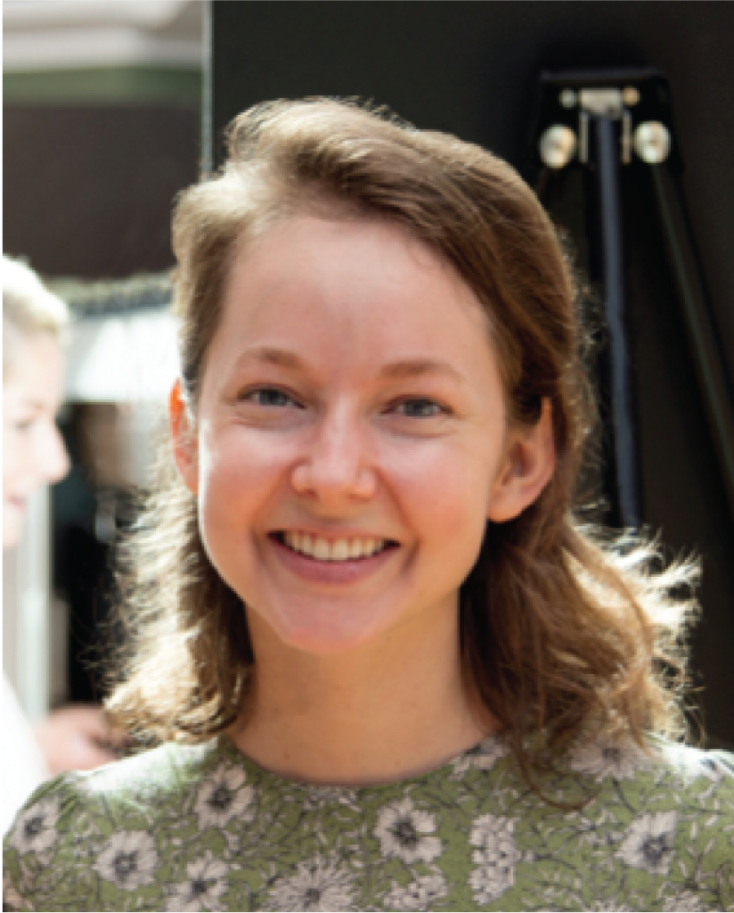
Izzi Hinks: Izzi Hinks is a Geospatial Analytics Ph.D. student, who received B.S. degrees in Computer Science and Environmental Science from the University of North Carolina at Chapel Hill. Her research goal is to develop strategies to improve food security and human-nature interactions in the wake of climate change. Izzi’s current work uses remotely sensed data and household surveys to examine the adaptive potential of smallholder agriculture in poverty-ridden areas. Previously, she used remote sensing algorithms to monitor the rehabilitation of coastal ecosystems in Thailand. Izzi was a founding member of a tech start-up that helps local governments optimize decisions using constituent data, and more recently worked with a nonprofit to support underserved communities during Covid-19.
Lab Alumni
 Marschall Furman, PhD Student: Marschall completed his undergrad degree at NC State, and is currently a 2nd-year PhD student in the Department of Statistics. His research interests are in applications of spatial statistics and machine learning to large datasets. Marschall’s current work involves fusion of satellite remote sensing images from multiple sources, at varying spatial and temporal resolutions. He is also interested in data visualization and sports analytics, and enjoys mentoring the undergrad Sports Analytics Club on campus.
 Clare Maher, MS Student: Clare Maher was a Master of Natural Resources Student in the Department of Forestry and Environmental Resources at NCSU. Clare pursued the hydrology technical option, and focused her research on local water-related policy and management issues. She minored in geography and GIS during her undergraduate career which allows her to excel as a teaching assistant in the Center for Geospatial Analytics; a job Clare finds extremely rewarding and enjoyable. Clare loves hiking, walking her dog, and anything chocolate.
 Kunwar “Krishna” Singh: Postdoc (2016-2018): Future land conversion will continue to expand into relatively undisturbed areas to meet ever-growing human demands for natural resources. Dr. Kunwar Singh studies land conversions, their implications, and nature of the feedback between land conversion and resources under a changing climate using GIS, remote sensing, and spatial statistics. Dr. Singh is a postdoctoral research fellow in the Center for Geospatial Analytics. Currently, he is developing ecohydrological models for water-scarce regions (e.g., the Gangetic Plains in India, and San Joaquin Valley, California in the USA) to understand how agricultural intensification affects the variability of water resources under a changing climate. His educational background includes a doctorate in forestry and environmental resources from NC State, with a focus on quantifying landscape heterogeneity.